Where to fish ?
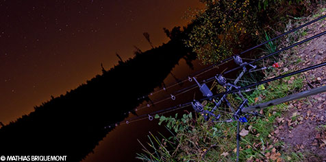
Where to fish the carp at night?
What are the prohibited fishing zones?
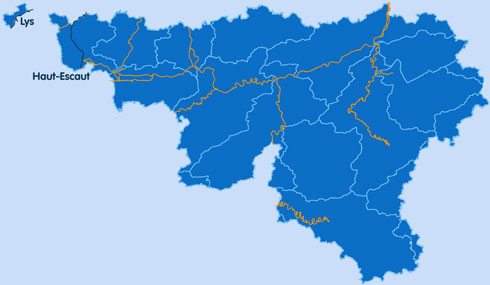
The Walloon fishing license (A or B) is enough to fish in the hydraulic ways (orange on the map).
See the list of the watercourses here below:
- The Lys
- All channels : l’Espierres, Ath-Blaton, Nimy-Blaton, Antoing-Blaton, Charleroi-Bruxelles, central channel (canal du Centre), channel Albert
- The Escaut (exept the affluents)
- The Dendre downstream of the confluence between the eastern and western Dendre (Ath)
- The channeled part of the Haine
- The Sambre
- The lakes of the Eau d’Heure
- The Meuse
- The derivation of the Meuse, from the Meuse in Liège to the Coronmeuse bridge
- The Semois downstream of the Deleau windmill (of “des Nawés”) in Herbeumont
- The Ourthe downstream of the dam of Nisramont
- The Amblève downstream of the bridge of Remouchamps
- The Lesse downstream of the first fixed dam
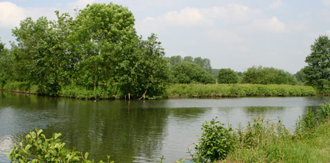
Fishing in the other watercourses
Al the watercourses that aren’t in the list here above are included in this category.
To fish in, these documents are required :
- The regional fishing license
- The member cart of the association in charge of the fishing right or the riparian owner’s authorization (if there are no association)
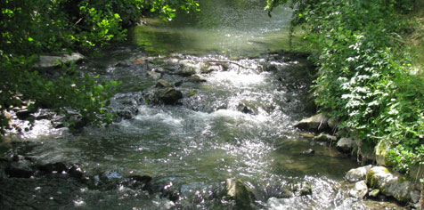
Particular settings
Clic on the map to know the particular settings for the different watercourses !
The decree of the Walloon government (pdf version) includes the places where nocturnal carp fishing is allowed (if respect of specific settings mentioned in these decree).
Fishing is always prohibited :
- In sections of non-navigable and non-floatable watercourses that runs through forests and woods under a forest regime (protected zones).
- In the locks.
- Near every dam, locks, spillway, sluice, valve, water supply and mouth of affluent for which a fishing prohibition zone is indicated.
- In the areas indicated by the administration in the summer period, during pollution events, during certain works and actions of fish repopulation or because of an exceptional concentration of fish.
- From the top of the bridges over floatable and navigable channels and watercourses.
- In the leisure ports, darses and garage basins indicated by the administration.

The prohibited zones are indicated by those pictographs :
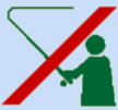 |
This pictograh is used alone for a punctual interdiction. When the interdiction continues for some distance, it’s completed with the arrow you see here below. Those pictographs can only be present on the right side if the watercourse is narrow and if the space around allows it. |
 |
This arrow is used when the interdiction continues for some long distance. When the planning of the area needs it, the pictograph 1 is completed by two arrows in opposite direction as reminder. The arrow can be completed with a mention of the distance of the effective prohibition. |
You’ll also be interest by :
→ The opening fishing periods in Wallonia
→ Places where fishing is allowed
→ Which species to fish ?
→ Allowed equipment and techniques
→ Listen to the sequence “Allo the fisherman, is fishing simple?”
Downloadings
→ Download the brochure « Fishing is simple » (pdf file - 600 Ko)
→ Download the memory aid edited by the Walloon Public Service (pdf file - 1,3 Mo)
→ Consult the officious coordination (pdf file - 100 Ko)
Links
→ Surf on http://wallex.wallonie.be to obtain the complete legislation about fishing in Wallonia
(Thematic access – Nature and Woods – Fishing)
Voir aussi :
→ Les poissons de nos rivières
→ Les frayères artificielles
→ Stages de pêche
→ La pêche au féminin